Smart Drone Inspections for Safer Buildings
Building Inspections, Reimagined
From rope access to smart data
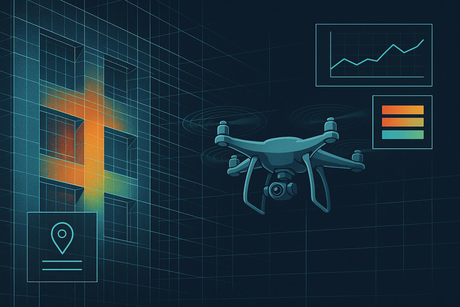
Traditional building surveys are slow, expensive and risky. We use advanced drones with thermal cameras and LiDAR to inspect façades faster and safer. Every survey creates a detailed 3D digital record you can use for years.
Safer
No more workers dangling from ropes
Faster
Complete surveys in days, not weeks
Smarter
Track building health over time

How It Works
Three simple steps to better building data
Fly & Scan
Our drones capture RGB photos, thermal images and 3D scans of your building. We follow all UK safety regulations.
Analyse
Our software creates detailed maps showing cracks, moisture, missing panels and other defects. AI helps spot problems humans might miss.
Report
Get a secure online dashboard with all findings. Download reports for your building manager, insurer or regulator.
Who Needs This
Potential clients and use cases
Property Owners
Residential tower owners, commercial building landlords, mixed-use property portfolios
Housing Associations
Social housing providers, estate managers, regeneration projects with recurring inspection duties
Insurance Companies
Property insurers requiring objective building condition data for risk assessment
Hotels & Resorts
Hospitality properties with large façades, complex access and minimal downtime requirements
Property Consultants
Technical advisors, building surveyors, due diligence specialists for transactions
Facility Managers
Maintenance planning teams, asset management departments, service charge advisors
Why Choose Drone Inspections
Advanced thermal and LiDAR technology advantages
Thermal Imaging Reveals Hidden Problems
Infrared cameras detect temperature differences invisible to the naked eye. Find moisture infiltration, insulation gaps, air leaks and thermal bridges before visible damage appears.
▸ Water ingress detection
▸ Energy loss mapping
▸ Material defects
LiDAR Creates Precise 3D Models
Laser scanning produces millimetre-accurate 3D point clouds of entire façades. Track structural movements, measure deformations, plan repairs with exact dimensions.
▸ Precise measurements
▸ Deformation analysis
▸ BIM integration
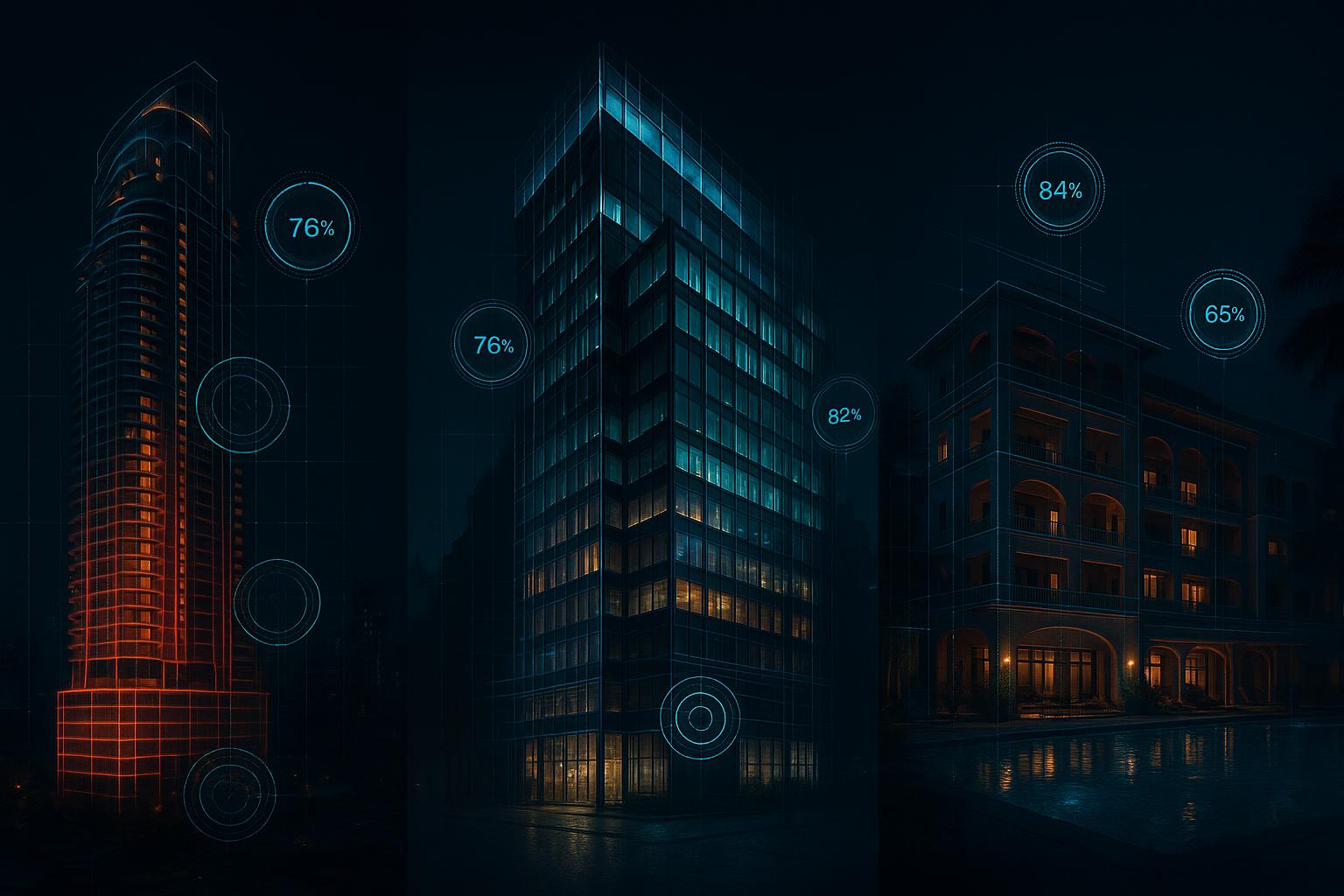
Digital Records Build Long-Term Value
Every survey creates a baseline for comparison. Track building condition over years, prove maintenance effectiveness, demonstrate due diligence to regulators and insurers.
▸ Historical comparisons
▸ Compliance evidence
▸ Instant sharing

Get Started